
WEATHER HEADLINES
- Great weather through Thursday
- A big storm system sweeps through Friday, bringing a lot of wind and strong thunderstorms, especially for areas over central Missouri
- The weekend looks cooler, but dry
KANSAS CITY'S FORECAST
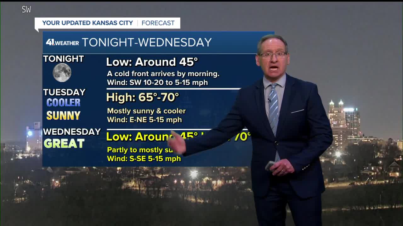
Tonight: The breeze slowly dies down with a clear sky and cooler temperatures.
Low: 46°
Wind: SW 10-20 to 5-15 mph mph
Tuesday: Mostly sunny & cooler as a weak cold front slips in. It will still be a very nice day.
High: 68°
Wind: E-NE 5-15 mph
Wednesday: Partly to mostly cloudy while feeling great.
Low: 42° High: 73°
Wind: SE 5-10 mph
Thursday: Terrific Thursday! Abundant sunshine. We should be able to see the total lunar eclipse at night. It starts at 10:57 PM and peaks at 1:58 AM, ending at 5:00 AM Friday.
Low: 46° High: 76°
Wind: SE 5-15 mph
Get more updates from our weather team:
View our interactive radar
Read our Weather Blog
Check out the current conditions in our area
The KSHB 41 Weather Storm Shield is a life-saving app that acts like an NOAA Emergency Weather Radio on your iPhone or Android phone. You will receive critical alerts via voice and push notification regarding major, potentially life-threatening weather events.
