Good Tuesday bloggers,
I am sure you remember last Thursday when we had wind chill values as low as -40°!
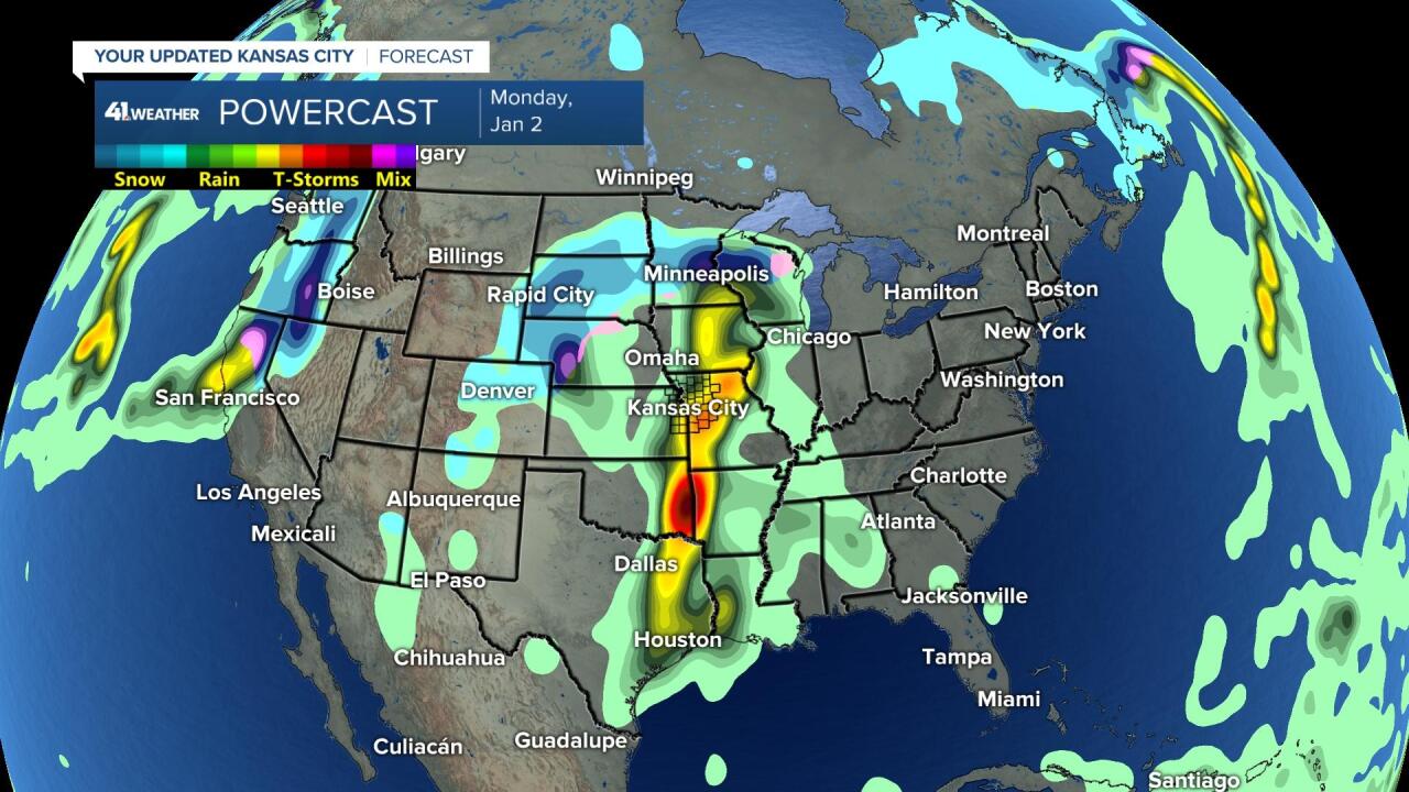
Well, this Thursday is going to feel 100 degrees warmer as we reach a high around 60°! This is being caused by a weather pattern shift. Storm systems are going to be coming in from the Pacific Ocean instead of from north of Alaska. This shift in the pattern will not only bring milder Pacific air to the USA, but beneficial rain and snow to the western USA. It may be a bit too much at once, but it is better than dry.
The first storm system is now pounding the west coast.

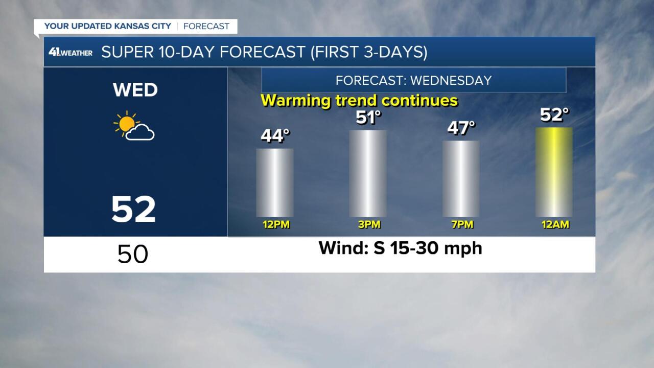
Temperatures will basically stairstep up this morning through at least noon Thursday. We are going for a high of 60°, but a weak front may keep the 60 degree highs just east of KC. If that happens we will still see highs in the 50s.
The 45 second video below will take you through the much needed warming trend. There is no audio.
What about precipitation?
We may see a little bit of rain Saturday, hopefully before the evening. There is a better chance of rain next Monday, the second day of 2023.


Here is a summary of the warm up. The warm up will be accompanied by south winds 15-30 mph, so there will be a wind chill today in the teens and 20s. Wednesday will see wind chill values in the 20s and 30s, especially for the morning. The wind chill does not get calculated above 50°.
TODAY:

WEDNESDAY:

THURSDAY:

Have a great week.
Stay healthy.


