Good morning bloggers,
Winter begins tomorrow and another huge warm-up will happen later this week. It may reach 70 degrees or higher on Christmas Eve. What is going on with this weather pattern?
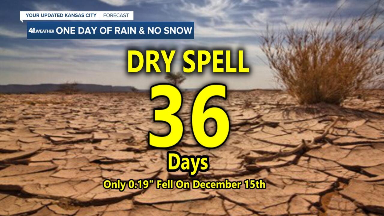
1) It has been extremely dry for over a month now, and it is a concern
2) There hasn't been any measurable snow yet, and this is a concern
We are identifying more features in this cycling weather pattern and we will be discussing these concerns as we move through this week. Right now, the brutally cold Arctic air is now up there, but still showing no signs of coming down. I am expecting it to be released within the next couple of weeks.

As you can see, there is Arctic air growing over Canada and Alaska, but for us it is not coming down this week.

It looks like it will get into the 60s on Christmas Eve. The record is 66° that was set in 1955. This weather pattern continues to be a mild one, and a dry one:

Here is Friday's Set-Up:

That cold front, the blue line with the barbs on it, will move through by Friday night. A near record warm-up will happen ahead of it and we may set the record for the warmest Christmas Eve before it turns colder on Christmas Day. This will be another dry front for our area;.

The only rain we have had is last week's severe thunderstorms where 0.19" of rain fell from those thunderstorms. A few spots had over a half inch, so at least we had some moisture. But, besides that one downpour, there has been a very dry trend for an increasingly long period.
Kansas City Weather Forecast:
It looks dry all week with highs in the 40s to near 50 each day until Thursday and Friday when that warm surge to near record levels will happen. And, then it will turn a bit colder on Christmas Day, likely back into the 40s. We are monitoring a possible New Year's week storm system, so more on that in the next few days as well.
Thank you for spending a few minutes of your day reading the weather blog, and sharing in this weather experience. Have a great beginning to this holiday week.
Gary


