Good morning bloggers,
Welcome to fall! Fall begins today and we call it the Autumnal Equinox. The word "equinox" comes from the latin word aequus, and it means "equal" & "night". "Nox" is the night part. The sun passes over the equator today, and we will have nearly equal day and night, 12 hours of daylight, 12 hours of night. Everywhere in the world has 12 hours equal day and night, or very close to it. Now, here is the interesting thing.
This also happens today at the North Pole. The sun sets today at the North Pole, so this 24 hour period has 12 hours day, then 12 hours night, but it isn't dark yet at the North Pole. It will be twilight at the North Pole for around two weeks. Around October 6th or 7th, it will finally be dark at the North Pole and this darkness will last until around two weeks before the first day of spring. Now, total darkness at the North Pole actually happens a bit later, and ends a bit earlier, but I will save that for another day. As, this concept alone is rather complex.

The new LRC (Lezak's Recurring Cycle), as named by you, the bloggers, in this blog nearly 20 years ago, sets up right around October 6th or 7th each year. Is it just a coincidence? Or, could there be the likely astronomical cause to the beginning of the cycling weather pattern that will begin around two weeks from now? I am making the hypothesis that it is not a coincidence! The sunset at the North Pole, and when it goes dark up there, likely triggers the beginning of the LRC.
We have been in the same pattern that set up last October through today. There is likely a transition going on now, but we are still mostly in that old pattern. In this past year, we have made some incredible predictions using our knowledge of the cycling pattern. Even Monday's severe thunderstorms were predicted months ago to happen. In recent years, and I know many of you have been paying attention and noticing, we have been predicting severe weather outbreaks, winter storms, tropical storms, floods, and droughts. This hurricane season Weather2020 has predicted Tropical Storm Claudette, Hurricane Elsa, Tropical Storm Fred, Major Hurricane Disaster Ida, Tropical Storm Mindy, and the recent Hurricane Nicholas from 3-months to 7-months before there was even a cloud with any of those systems. This is a scientific fact and we have the documentation to prove it. Think about how this will impact science, weather prediction, businesses, and you when we will be able to prepare for these events long before significant impacting weather arrives!
This past year's pattern that is ending soon produced the following in our area:
- Kansas City had 15.5" of snow
- Kansas City had no Tornado Watches within the immediate metro area counties (Jackson, Wyandotte, Platte, Clay, and Johnson counties), and this is the second year in a row without one. This is an indication of how uneventful our weather pattern has been
- The high temperature didn't reach 100 degrees
- The coldest temperature did drop to -14° in February
Last year's pattern began dry in October, and it is ending dry in September. What will happen next year? The old pattern is still cycling, but with today's sunset at the North Pole, the season has just changed, and the new weather pattern will set up. We will discuss a lot more in the coming days and weeks!

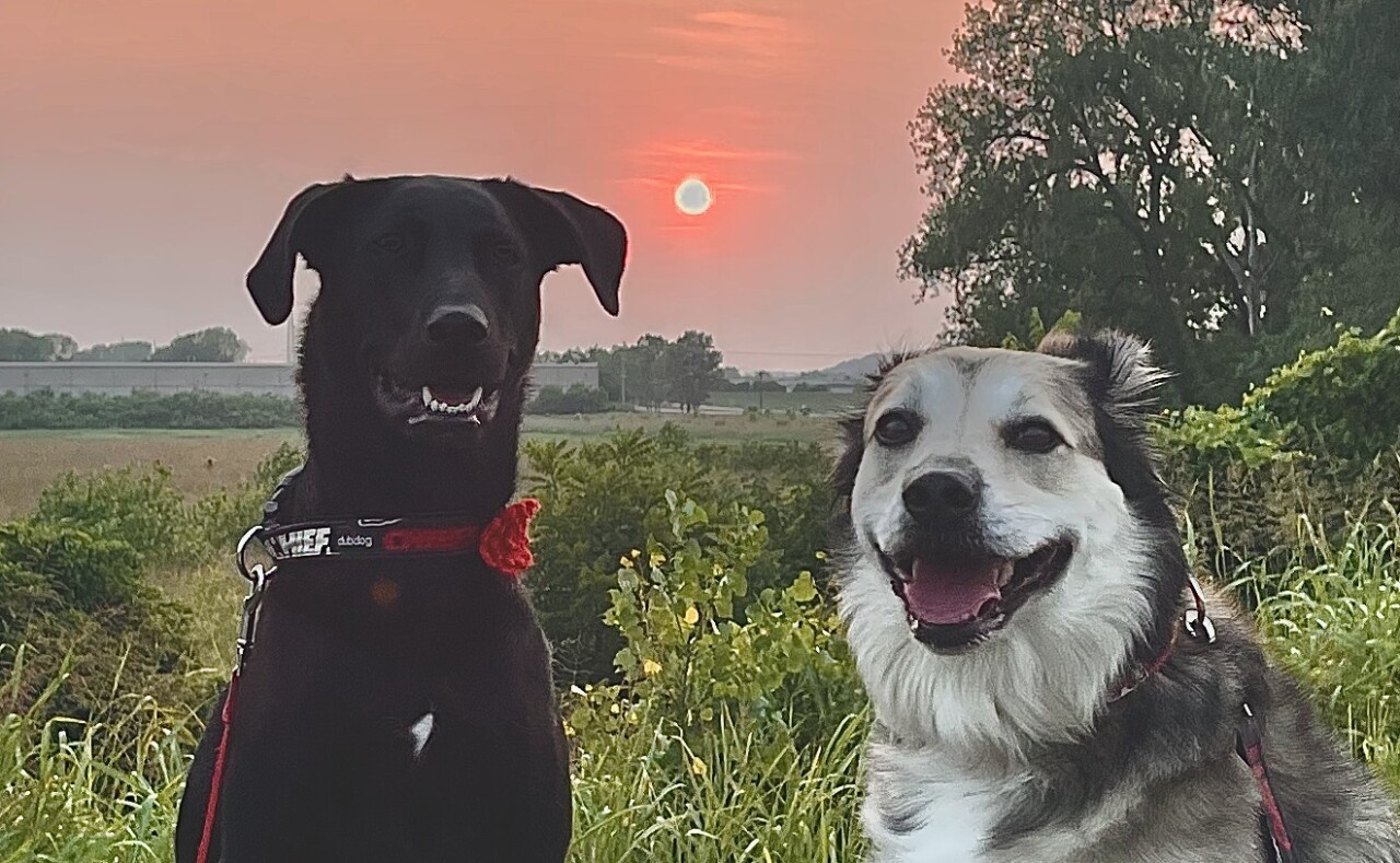
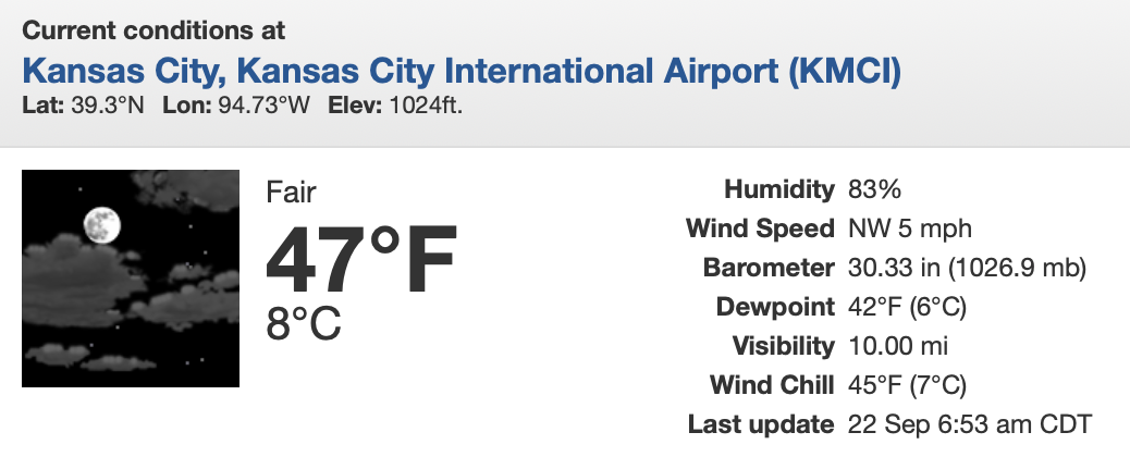
It dropped to 47° this morning officially at KCI Airport. I just took the dogs out for a walk. It feels refreshing, but not that cold. Expect a high temperature today of around 72°. We will look at the developing weather pattern, have the Plaza Art Fair and Chiefs weather forecasts, and go in search of our next chance of rain on KSHB-41 News.
Thank you for spending a few minutes of your day reading the weather blog. Have a great Wednesday! Summer ends and fall begins in the next few hours, as the sun tracks directly over the equator.
Gary


