Good Sunday bloggers,
It is not just cold, it is record cold. The record low for today is -10°, we dropped to -12°. The record low high for today is 0°, we are forecasting -2°. The record low for Monday is -10°, we are forecasting -10°. The record low high for Monday is 6°, we are forecasting 3°.

It is so cold that the Kansas and Missouri rivers are iced over. Usually we see ice floes during the winter, but this more than that. Here is a view of Kaw Point Sunday morning.

Below is another picture from Austin Hamilton who is in the frozen tundra of southcentral Iowa. These are some gorgeous sun dogs being created by the sun reflecting perfectly off ice crystals in the clouds. Usually the ice crystals are found in the cirrus clouds at 20,000-30,000 feet. Temperatures like we have are allowing for ice crystals in lower layers of clouds. The picture below does look like mostly cirrus clouds.

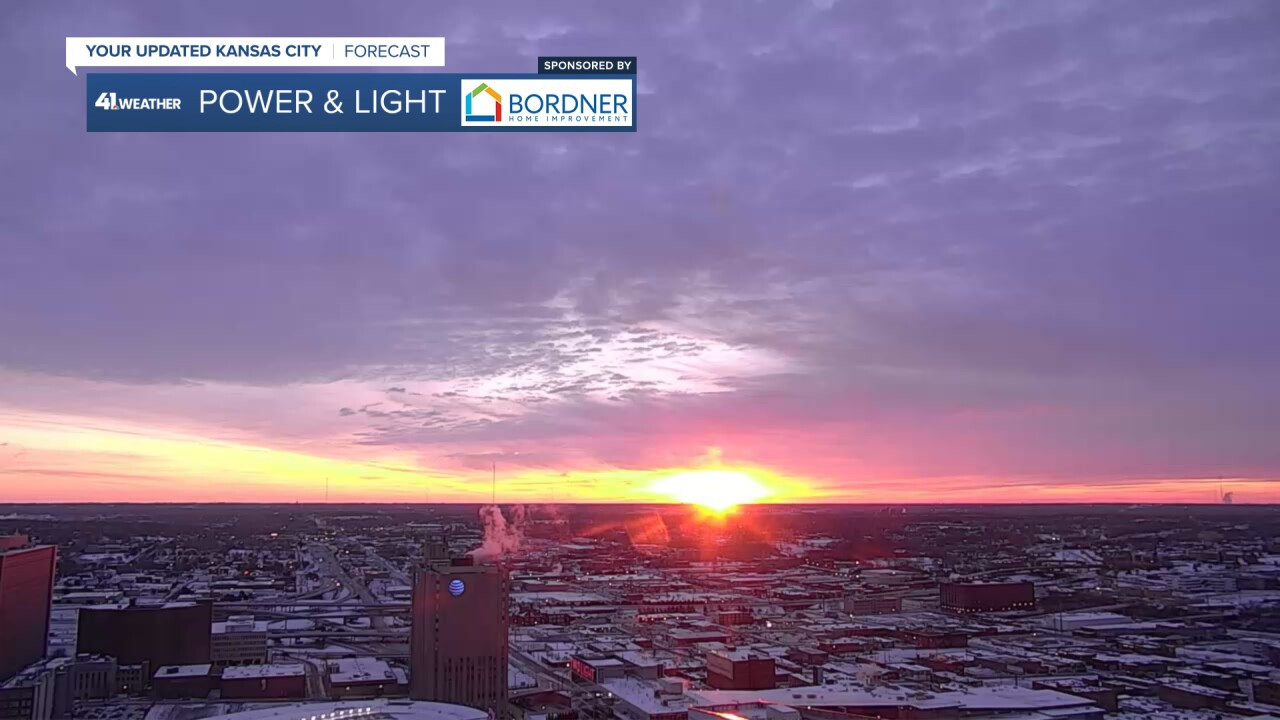
We did have a pretty sunrise as the sun rose, illuminating the cirrus and altocumulus/altostratus clouds.


The cold and snow does make for pretty scenes. I do love snow, but I love it much more when it is not ridiculously cold.
There is a lot of snow on the ground across the country and this is a large Arctic airmass. So, in order for a meaningful warm up, we need a major shift in the weather pattern. We see one at the end of the tunnel.

Details are in the five and a half minute video below.
Have a great week ahead.
Stay warm. Stay healthy.


