Good Sunday bloggers,
It is already May 1, time flies. It is not just May 1, but it is also April statistics day. April was colder than average with four days where we had a trace of snow.
Officially, it was drier than average by 1.7". This is at the KCI airport. South of the river rainfall amounts were 3"-5". Average April rainfall is 4.05".

Now, what is next as we move into May.
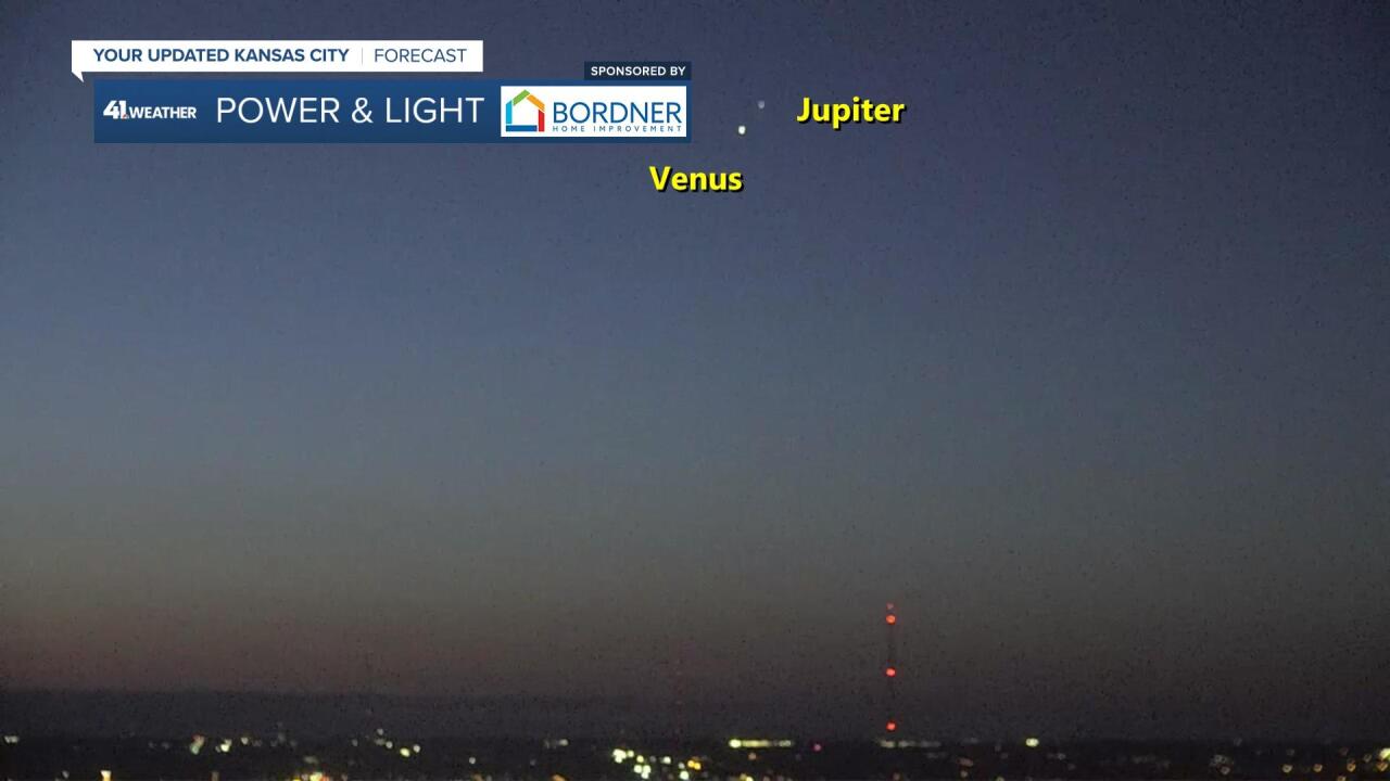
Today we are having some great weather and it was clear enough to see 2 planets at sunrise. Venus and Jupiter were quite visible.

Not only are Venus and Jupiter close to each other in the sky during May. But you can also see Mars and Saturn to the right of the double planets. The pic above was taken too late as the light of the sun blocked out the light of Mars and Saturn.
Below is what you can see this month just after sunrise. The best time to view is around 5 a.m. with a clear sky. it is going to be tough to have a clear sky at sunrise during the upcoming week.

May is the peak of severe weather season in our area. The last two years we have seen rather tame severe weather seasons. This one is much more active in tornado alley. The KC area has been fortunate, so far, as we have avoided the worst of the severe weather.
The next threat is tomorrow and we are in the severe weather threat, but on the edge at this time.
Details on the Monday severe weather threat and storm systems to follow are in the six minute video below.
Have a great week.
Stay weather aware and healthy.


