Good Wednesday bloggers,
After an active Tuesday with strong to severe thunderstorms in some locations and hardly a drop in others, we remain in a hot and humid air mass.
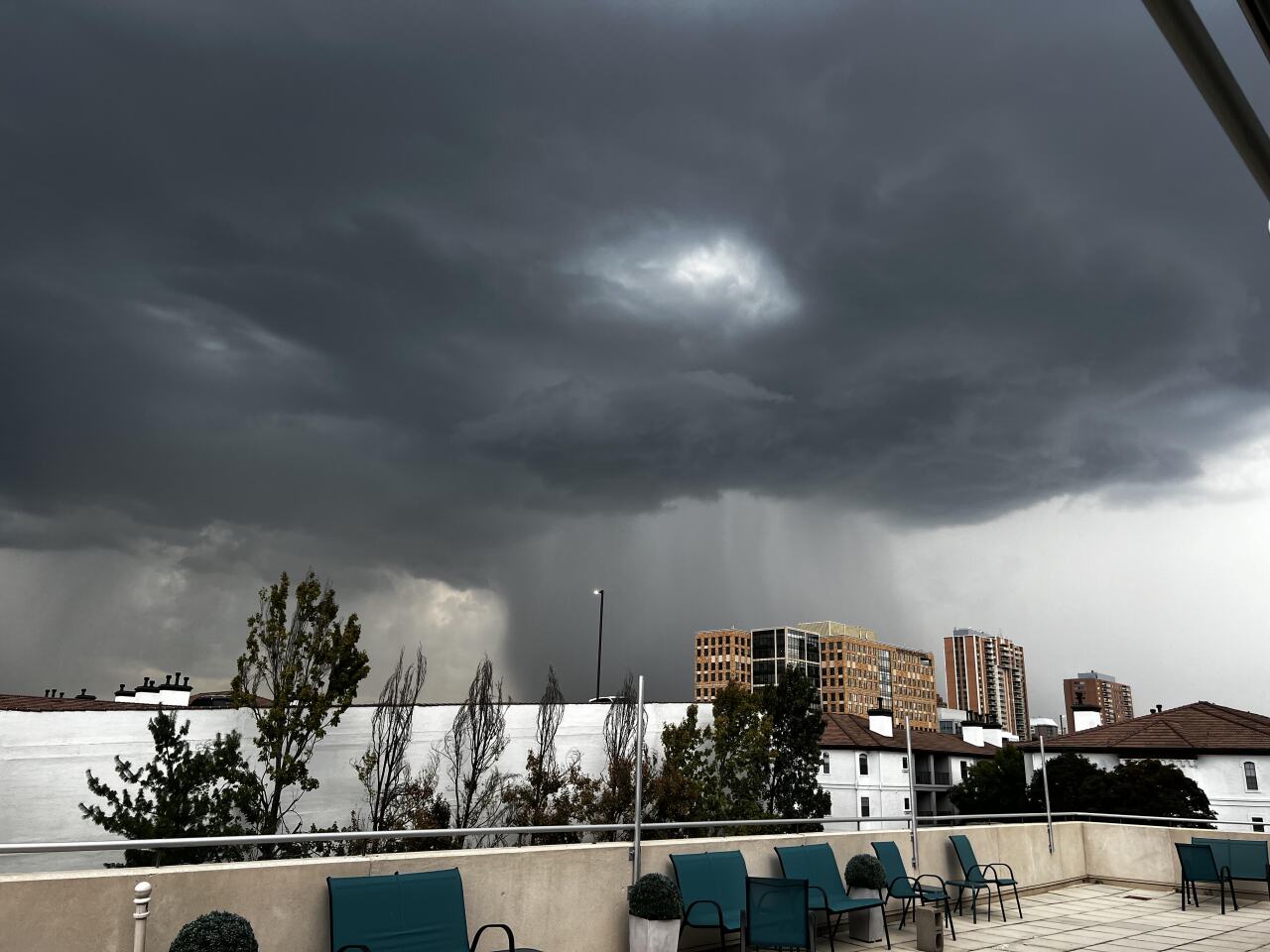
Below is a picture I took from the deck at KSHB 41 Tuesday evening.
You can see on the right an intense and concentrated rain shaft — that can be a sign of a microburst.
This thunderstorm did produce 30-50 mph winds on the Country Club Plaza.

Here is a closer look at it. It was quite a sight.

What is next?
We are tracking a cold front for Thursday night through Friday and a second front for Saturday night through Sunday.
Here is how these fronts will affect the big first games of the area college football games.

How will these fronts affect Labor day weekend? If you missed the rain Tuesday and need rain for your yard or farm will these fronts help out?
Details are in the six minute video below.
Have a great week and weekend.
Stay healthy.


